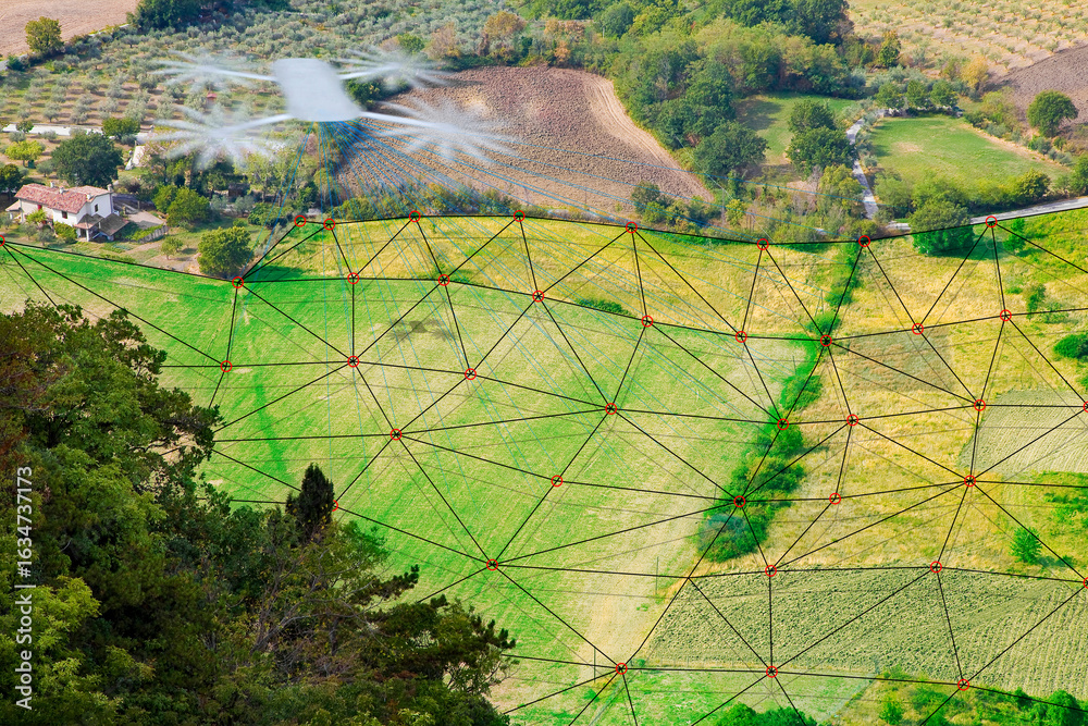
DRONE SURVEYING A FLAT AGRICULTURAL FIELD WITH DIGITAL LASER GRID FOR TOPOGRAPHIC MAPPING and precision agriculture applications